logo dark logo light logo
  • Solutions by Industry
    • For Architecture
    • For Engineering
      • Engineering Inspection
    • For Construction
      • Construction Surveying
  • Our Services
    • 3D Laser Scanning
      • As Built survey
      • Architects Site Measure Up
      • Engineering Drawings
    • CAD Drafting & 3D Models
      • Construction Site Design
      • Architectural Plans and Drawings
      • Architectural Renders and Visualisations
      • Engineering Drawings
    • Drone Services
      • Drone Photography
      • Drone Inspection
    • Drone Survey & Mapping
      • Large Land Survey
      • Feature Surveys
      • Corridor Mapping
      • Point Clouds & 3D Models
    • Asset & Building Inspections
      • Facade Inspections
      • Roof Inspection Melbourne
      • Confined Space Inspections
    • Land Surveys
  • Projects
  • Pricing
    • Drone Inspection
    • Land Surveying
    • Drone Photography
    • 3D Laser Scanning
    • Aerial Photography
    • Video Production
  • Resources
    • Pricing Guides
    • Avian Blog
    • About Avian
    • Frequently Asked Questions
    • Info Carousels
  • Locations
    • Melbourne
    • Sydney
    • Brisbane

1300 081 115

Mobile Logo
  • Home
  • For Architecture
  • For Engineering
    • Engineering Inspection
  • For Construction
    • Construction Surveying
  • Services
    • 3D Laser Scanning
    • CAD Drafting & 3D Models
    • Drone Services
      • Drone Photography
      • Drone Inspection
    • Drone Survey & Mapping
    • Asset & Building Inspections
    • Land Surveys
  • Projects
  • Pricing
    • 3D Laser Scanning
    • Land Surveying
    • Drone Inspection
    • Aerial Photography
    • Video Production
  • Resources
    • Pricing Guides
    • Avian Blog
    • About Us
    • FAQs
  • Locations
    • Melbourne
    • Sydney
    • Brisbane
  • šŸ“ž 1300 081 115

5 Costly and Shocking Mistakes during Aerial Surveying and Mapping using Drones

December 20, 2021

Aerial surveying using drones is a game changer for architecture, engineering and construction (AEC) companies. Every aerial survey and mapping project aims to collect site data and generate 2D or 3D maps and 3D digital models that fulfill the accuracy standards of both surveyors and engineers.Ā And as useful as drone

Read More

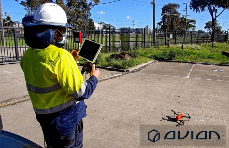
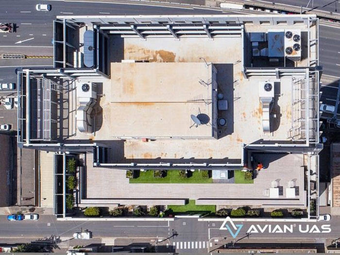
Watch out for these common mistakes when conducting drone inspections

December 13, 2021

Drone inspections are an integral part of all architectural, engineering or construction (AEC) projects. You can find drones everywhere, from single-storey residential projects to multi-million dollar high-rise commercial construction projects. Table of Contents However, the drone inspection is only as good as the operator controlling the machine. The simplest mistake can cost

Read More

5 Easily Overlooked 3D Laser Scanning Mistakes & How To Avoid Them

December 6, 2021

Imagine a scenario where all the equipment is ready, you have set up the total station and made observations and the 3D laser scanner is also set up and ready to scan the site. Just before you carry out the inspection, you find that theĀ LiDAR scannerĀ is not working correctly.Time to

Read More
Your all-in-one partner in surveying, imaging, and reality capture solutions with hundreds of projects across Melbourne, Sydney, and Brisbane.
1300 081 115 | info@avian.net.au

152 Elizabeth St, Melbourne VIC 3000

465 Victoria Ave, Chatswood NSW 2072

1554, 17 Gould Rd, Herston QLD 4006

  • 3D Laser Scanning and Surveying Services
  • 3D Scanning Services Melbourne
  • 3D Scanning Services Sydney
  • 3D Scanning Services Brisbane
  • Drone Services Melbourne
  • Drone Photography Melbourne
  • Drone Surveying Services
  • Buidling Inspection Services
  • Drafting and Design Service

Quick Links

  • Case Study
  • News
  • Contact Us
  • Refer Us
  • Chat With Us
  • Ballarat
  • Brighton
  • Brunswick
Copyright Ā© 2022 Avian Australia
Privacy Policy