Photogrammetry Costing Guide To Measure Buildings [Updated 2023]
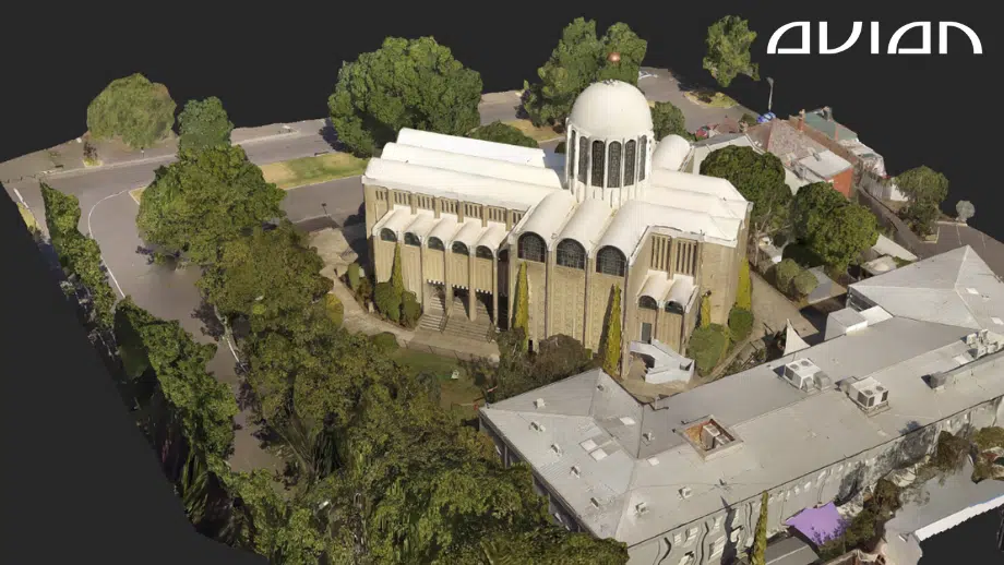
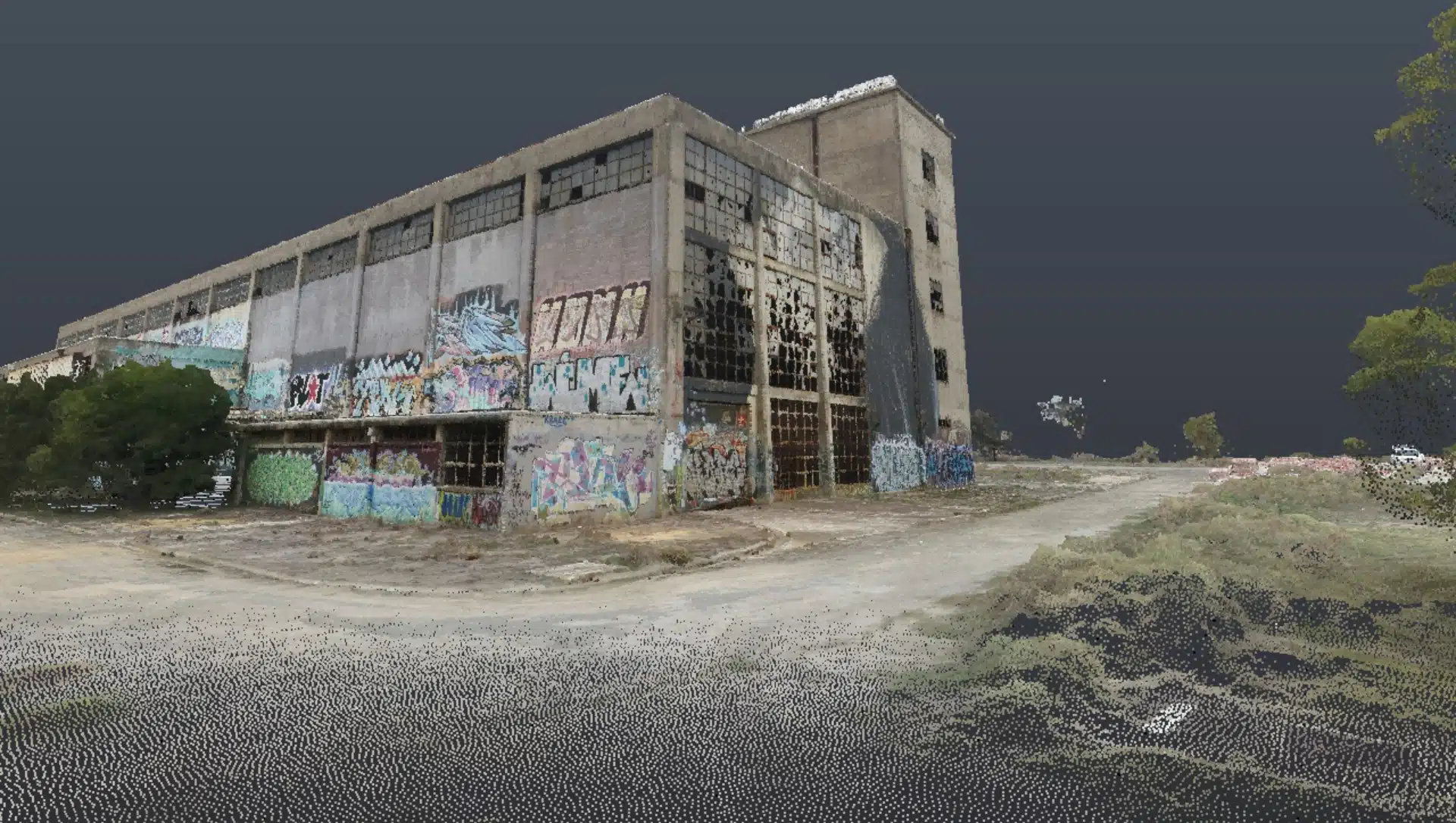
Aerial surveying (Drone Surveying, Drone Mapping) has become quite popular over the past decade, thanks to the rapid rise of drones, LiDAR scanners, RTK GNSS Rovers, Robotic Total Stations and other advanced surveying tools. In this blog, we will cover in detail about photogrammetry cost estimates for surveying buildings in Australia. Drones and LiDAR scanners
Revolutionising Construction – The Benefits of 3D Laser Scanning and As-Built Surveys
In the world of construction, accuracy and efficiency are two key factors that determine the success of a project. With the advent of 3D laser scanning technology, as-built surveys have become more accurate, efficient and faster than ever before. In this article, we will discuss the benefits of 3D laser
Ultimate Guide to CASA Drone Rules in Australia 2022
Commercial drones have become a standard surveying tool in the field of architecture, engineering, and construction in Australia. The construction industry in particular has historically been the fastest growing commercial adopter of drones ahead of mining and agriculture. ABS innovation data highlighted that 15.5% of businesses in construction introduced a new


