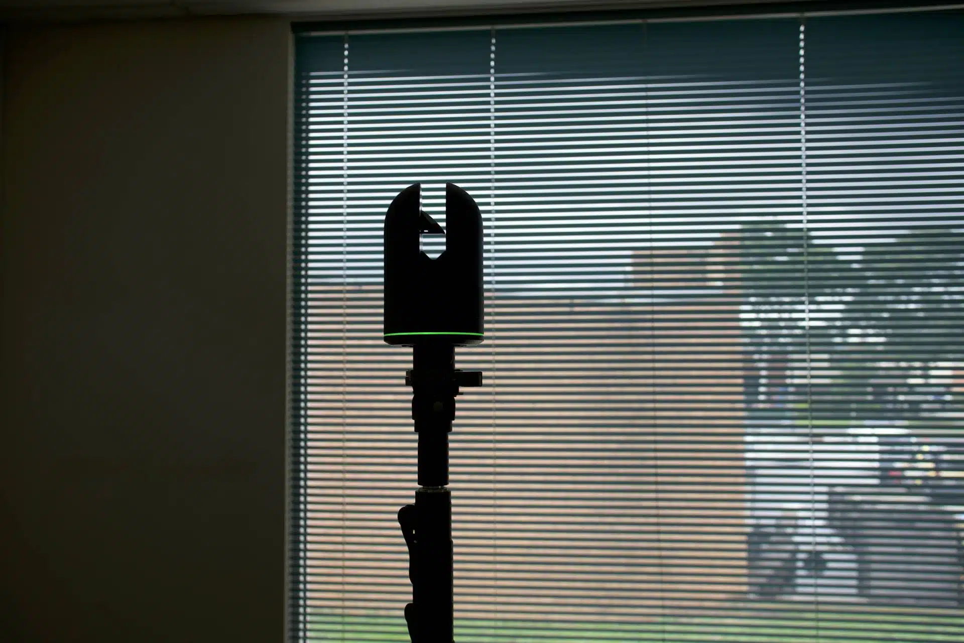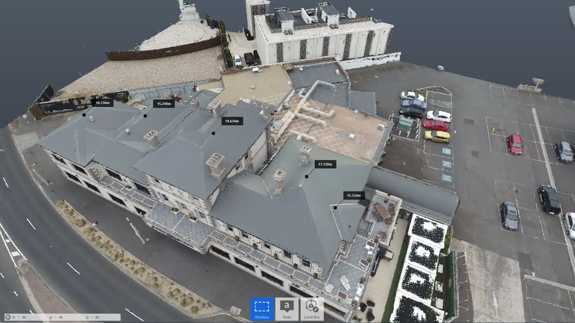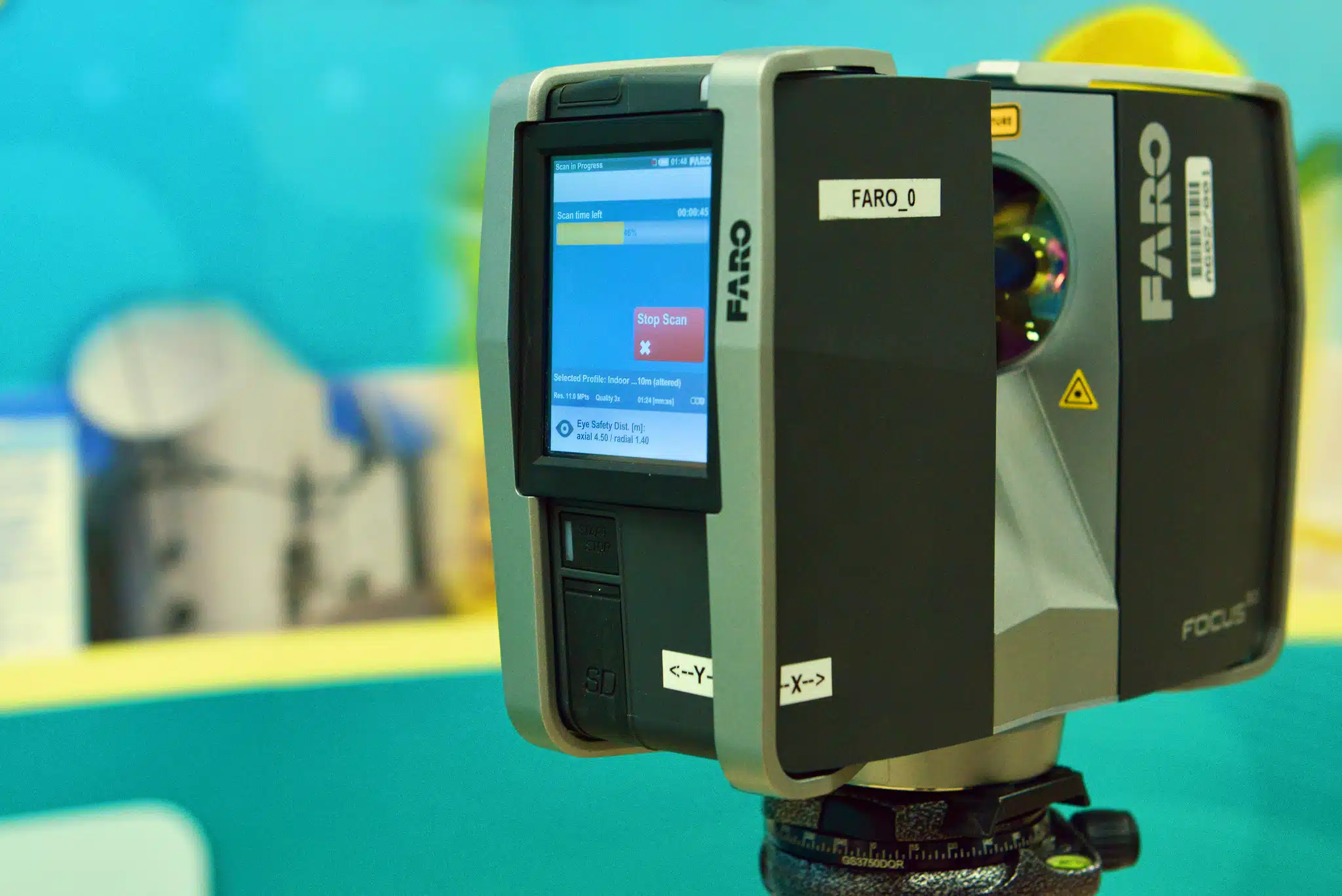
Imagine a scenario where all the equipment is ready, you have set up the total station and made observations and the 3D laser scanner is also set up and ready to scan the site. Just before you carry out the inspection, you find that the LiDAR scanner is not working correctly.
Time to start troubleshooting… and spending unaccounted for time onsite.
Believe it or not, such scenarios with 3D laser scanning mistakes is more common than you’d think. Many things can go wrong in a 3D laser scanning survey, hampering your project’s data collection and overall efficiency.
Equipment malfunctions and unexpected delays can be a nightmare for architects, engineers and construction (AEC) professionals.
Table of Contents
If you are in the AEC sectors looking for 3D laser scanning services in Melbourne, Avian Australia is your answer.
3D laser scanning, when done right, can deliver unparalleled levels of detail and improve design efficiency for your project. It’s worth outsourcing laser scanning to professional surveyors instead of trying yourself as having the equipment is only a small part of the solution. You’ll need skills in several disciplines to complete an accurate 3D building model.
In this article I will list 5 common 3D laser scanning mistakes to avoid that could save you both time and money.
Not Aligning the Scans Properly
Often, land surveyors have to cover the same area twice from different angles to get full coverage of the site. In other cases, you might also have to take multiple shots of the specific area to ensure validation of the observed measurement.
These results then need to be combined with the laser scan data to be aligned and consolidated. For this, the land surveyor has to sit with the 3D laser scanning expert and align the scans using the BIM software.
If there is some small error in the alignment, the point cloud will have duplication, blurring or doubling of the points that causes errors during the drafting and modelling stages. You may barely even notice the errors unless you take biopsies of the scan to view and compare.
Hopefully, this 3D laser scanning mistake can be fixed on the BIM platform but only if the laser scan has been conducted correctly and without error. However, fixing these errors is time-consuming and causes unnecessary rework and investigation. If the “doubling” persists, you might have to redo the scan, which is a costly, inefficient and cumbersome process.
Insufficient Memory Space
The 3D laser scanner captures site data as multiple point clouds. These point clouds get stored in the device or on internal memory cards.
These memory storage options, though convenient, tend to get used up very quickly. Plus, when using external memory devices, you have to be very careful when removing the SD card or the USB from the equipment.
Ensure that the Lidar scanner is completely switched off and is not transferring to the SD card when you remove it. Doing so might corrupt the data and, in turn, destroy the precious site data you so painstakingly collected.
At Avian, we follow processes to ensure our equipment is thoroughly tested and inspected including pre-start checks before beginning the survey. A series of comprehensive checks can save you a lot of time and frustration on site.
Inadequate scan methodology
Every job site presents its own unique challenges when it comes to laser scanning and every laser scanner has technical and range limitations and software nuances.
It’s common for inexperienced laser scanner operators to ‘under-scan’ the site and fail to capture the site area sufficiently for the drafting or 3D modelling to be completed. It’s common to rely on the technical data sheet and stated performance of the equipment without having field tested the gear to realise the actual limitations and challenges when using the scanners in different scenarios.
There are myriad complexities onsite that can result in poor quality laser scan data; high contrast areas, site obstructions, plant and machinery, confined or small spaces to name a few.
These 3D laser scanning mistakes can degrade the quality of laser measurements and affect the 3D models generated from this data. You might notice strange effects, waves and data dispersions that hamper the survey data accuracy.
Our team has years of local experience at 3D Laser scanning companies and is well trained to handle 3D laser scanners in construction sites and have experience using laser scanning equipment in variable site conditions to ensure our data collection is efficient, accurate and unaffected by the site conditions.
Onsite issues and obstructions
You might not always find stable or level surfaces on the construction site to set up your 3D laser scanner or there are obstructions hampering the laser scanners line-of-sight (lasers can’t penetrate solid objects).
On-site surveyors have to work with all kinds of terrains and site conditions. For instance, if you have to set up the 3D laser scanner on a wet concrete floor, the equipment can move or slide causing errors in the results.
Similarly, setting up the 3D laser scanner on earth or asphalt might cause the equipment to destabilise and lose balance. On a scorching day, the heat from the asphalt could lead to uneven scans.
It usually takes 30 minutes to setup the total station and laser scanner to ensure the equipment is levelled and setup correctly. If the scanner is not level during a scan can result in the scans not aligning correctly.
Unstable equipment can lead to inaccurate site surveys and cause some physical damage to the on-site assets. The 3D laser scanner might fall and damage some onsite assets not to mention damage the scanner itself, resulting in expensive repair costs.
At Avian, we hold comprehensive insurances to take care of unforeseen accidents including appropriate WorkCover insurance for our staff.
Inappropriate Resolution Settings
The proper resolution settings can make or break your 3D laser scanning results. If you set the resolution settings too low, it can lead to scattered and low density point clouds, and the effect, in turn, will be blurry and unclear.
On the other hand, the site survey time will increase if you set the resolution settings too high, and you’ll just be wasting time as its not required for most of the scan. The 3D laser scanner will take longer time for each scan and you won’t cover as much ground.
Our team of surveying and laser scanning experts at Avian Australia are trained to handle land surveys and 3D laser scanning in AEC sectors. Our team also contains 3D modelling and 3D visualisation expertise on board to help Architects, Engineers and Construction clients make informed decisions about project methodology, analysis and presentation of the acquired data.
The Bottom Line
Before hiring a 3D laser scanning service, ensure that you ask the right questions about their scanning equipment, experience, methodology and processes. This short interview helps you check if they have the capability for your job.
At Avian, all our surveyors are trained and certified. We have the relevant professional and industry experience needed to take your project to the next level!
Get in touch with the team today to see how 3D laser scanning can improve your project when done right.
Everything You Need to Know About 3D Laser Scanning
And factors that affect the costs of 3D Laser Scanning Services. Check our ultimate blog to find out more.
Click here to know More About Pricing of 3D Laser Scanning Services in Melbourne.


