Category: 3D Laser Scanning
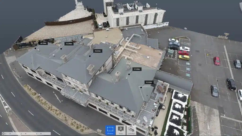
Building the Future: How Point Cloud Surveys are Revolutionising Construction
May 6th, 2024 by avianPoint Cloud Surveys have emerged as the cornerstone revolutionising the industry in the dynamic arena of modern construction, where accuracy and efficiency reign supreme. Consider an exact digital replica of the real world made up of millions of points precisely collected in three-dimensional space. This is the heart of Point […]
Read More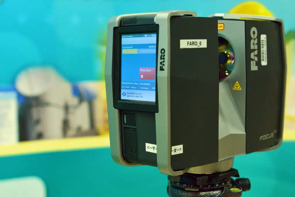
Avian’s 3D Laser Scanning & Surveying Equipment List [Updated 2024]
May 1st, 2024 by avianIntroduction For architects, LiDAR scanning, also known as 3D laser scanning, is an absolute table-turner as it can drastically help in re-imagining the interiors, model structures, and building setups that can be digitally visualised with 2D and 3D laser scanning equipment. In the AEC (Architecture, Engineering & Construction) Industry, typically […]
Read More
Visual Tree Assessment Techniques for Comprehensive Tree Safety Audits
April 30th, 2024 by avianTrees play an important part in our symbiotic balance with nature, and it is all the more critical now as to how we nurture breathing pockets in our urban landscape. However, this comes with a list of challenges where trees can be hazardous when they break or fall with or […]
Read More
22 Benefits of 3D laser scanning in Architecture and Construction
January 9th, 2023 by avian3D Laser scanning is among the most popular and effective methods to capture accurate site data. It offers architects and designers plenty of benefits over conventional surveying methods. Read on to know about the advantages of 3D laser scanning services and how it helps with effective 3D architectural visualisation. Table […]
Read More
How much does 3D laser scanning cost in Australia?
July 22nd, 2022 by avianCutting-edge 3D laser scanning technology has revolutionised the Architecture, Engineering and Construction (AEC) industries across the world, including Australia. Architects, engineers and construction managers can incorporate accurate 3D models into their design and build workflows easily thanks to these lightweight, accurate and portable technologies. With so many advantages and features […]
Read More
5 Easily Overlooked 3D Laser Scanning Mistakes & How To Avoid Them
December 6th, 2021 by avianImagine a scenario where all the equipment is ready, you have set up the total station and made observations and the 3D laser scanner is also set up and ready to scan the site. Just before you carry out the inspection, you find that the LiDAR scanner is not working correctly. Time […]
Read More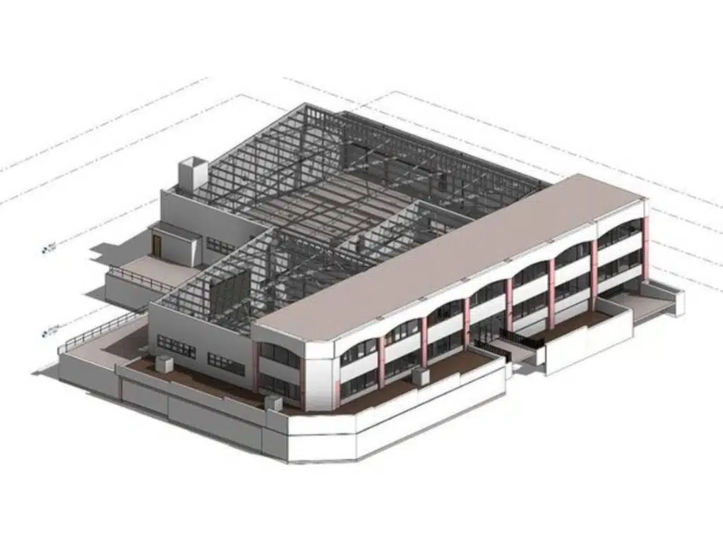
6 Point Checklist to Hire 3D Laser Scanning Services
November 8th, 2021 by avianI’m sure you already know all about 3D laser scanning and how it helps Architects, Engineers and Construction Managers cover more ground and gather accurate on-site information in record time. But seldom do we make the most of this new technology without a little helpful advice. In order to realise […]
Read More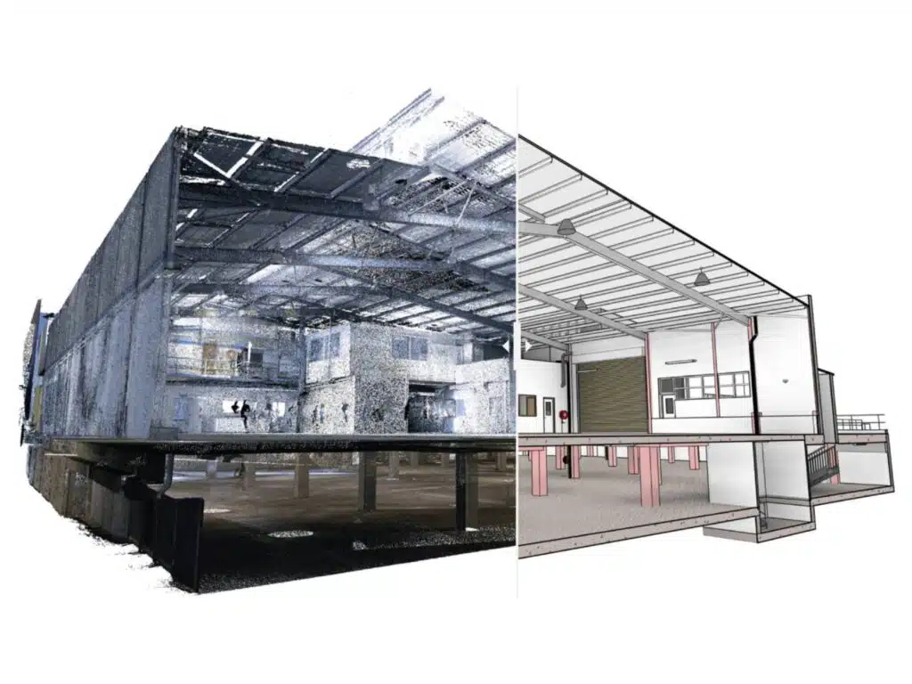
12 Laser Scan to Model Best Practices For Architects
October 3rd, 2021 by avianLiDAR scanners have become an indispensable part of any architectural project. These cutting-edge machines help architects collect accurate site measurements, capture important site details and so much more. But did you know that the benefits of laser scanning go far beyond 3D architectural visualisation? 3D Laser scanning in particular plays […]
Read More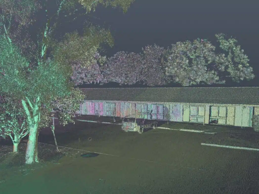
3D laser scanning equipment list for Architects
August 8th, 2021 by avianWhat is the first thought that comes to mind when I mention 3D laser scanning? Are you thinking about Sci-Fi movies or buildings recreated in 3D space? Well, I’m here to explain how 3D laser scanning companies replicate the as-built environment into a 3D format. LiDAR scanning or 3D laser […]
Read More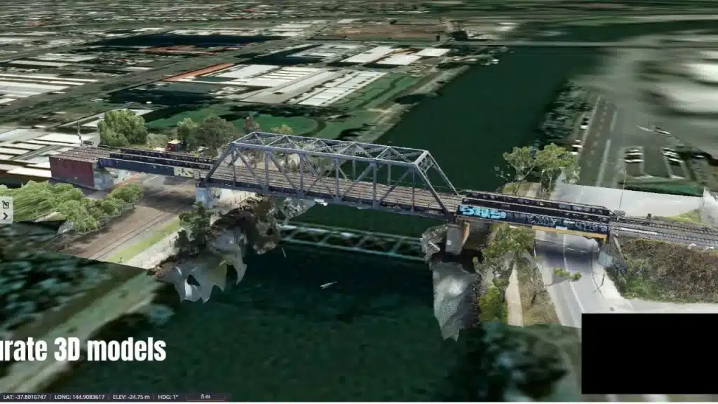
How Contractors Are Using 3D Laser Scanning In Construction?
August 3rd, 2021 by avianLand surveying and construction site inspection are perhaps the greatest challenges that a contractor or onsite engineer faces when working on a construction project. Sometimes, it is simply not possible to manually measure and map the construction site – a practice that a lot of construction still stubbornly holds onto. […]
Read More