Drones are a must-have tool for contractors, on site engineers and building managers in Australia. These little flying machines are gaining popularity among AEC professionals for conducting safer asset inspections.
You don’t have to spend weeks inspecting every industrial equipment on the site. Now, you have drones to do the job for you. Drones cover hundreds of acres in an hour, saving you a lot of time and resources that you can now use elsewhere.
Drones are also great for detecting damages in real time. You can inspect industrial equipment, embankments, bridges, buildings, towers, pipelines and other hard to reach places using UAVs.
This prevents the risk of any errors that can lead to costly failures if left unchecked.
The modern day drones also come equipped with HD cameras, sensors, and GPS navigation tech that makes land surveying and data collection more effective.
Read on to know more abput drone surveying and how it helps AEC professionals with safer asset inspections and accurate aerial surveys.
Table of Contents
Here are some reasons why drones are such a game changer for engineers, helping them with aerial asset inspections.
Quicker inspections: With drones, you can cover hundreds of acres in hours which is a lot faster than physical site visits.
An affordable solution: Drones might seem like an investment, but trust me, it pays off in the long run! It also enhances worksite productivity and is overall profitable.
Safer than manual inspections: Specialised drones for asset inspection can reach spaces on the site where humans cannot.
Reduced risks: Drones are useful for damage detection, risk management and site maintenance.
Improved accuracy: Drone data is far more accurate and less prone to human errors
Clear aerial shots: Drones can capture aerial shots from multiple angles,
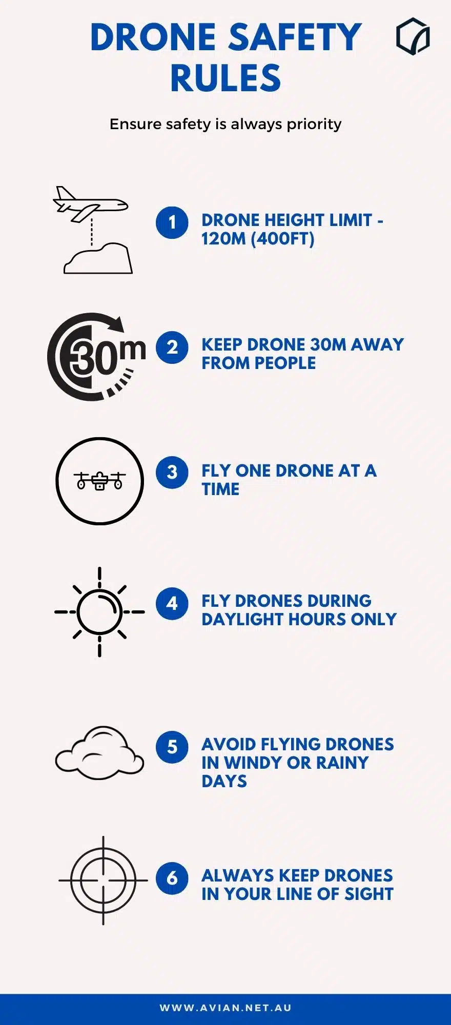
Some challenges that hinder drone aerial surveys and safer asset inspections are:
Equipment cost: Drones can seem like a heavy investment initially. However they are profitable in the long run. At Avian, we get a lot of questions from clients about the cost of hiring drone operators and services. You can check out our drone pricing guide 2021 to get some clarity on how drone services are priced.
Weather: Drones ideally fly best on clear sunny days. So, if you are from a cold country where the weather is usually cloudy then operating drones might be a problem. Licenses and permits: Flying drones in Australia usually requires a permit from CASA. You also need a drone pilot license to operate a commercial drone in Australia.
How do drones help with safer asset inspections?
Minimize Risks
UAVs and drones definitely make on site operations easier and quicker. It helps building managers and engineers operate around the construction worksite, survey industrial equipment and conduct safer asset inspections.
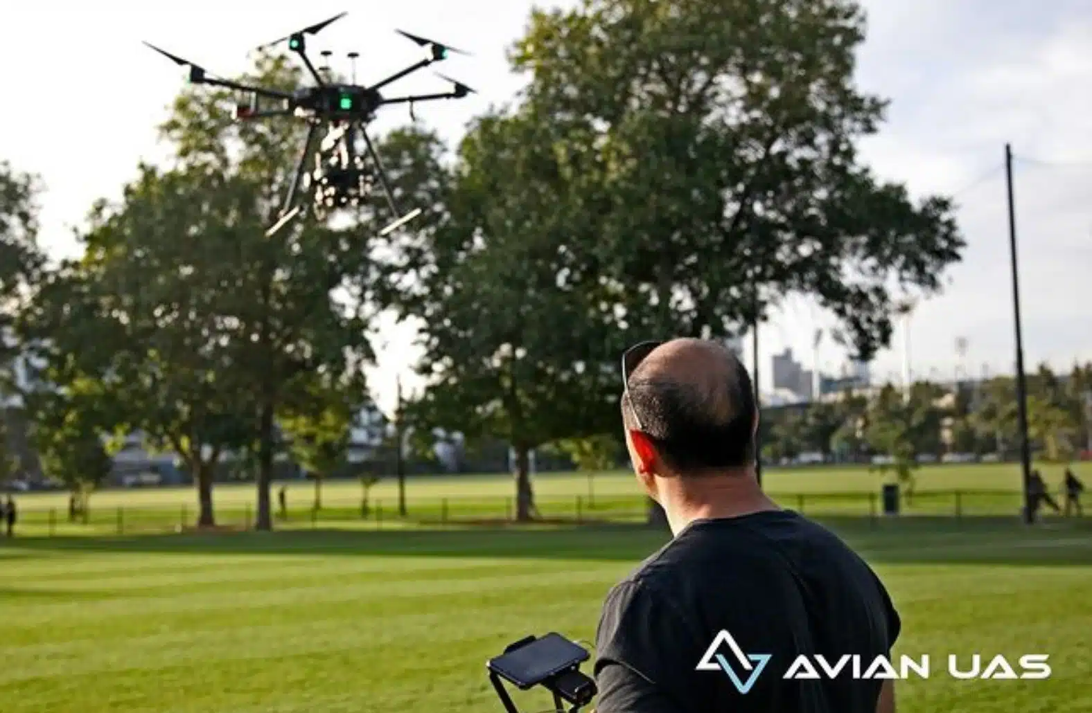
At Avian, we have a team of trained drone operators, certified by CASA who are trained to work in construction site, mining quarries, and other AEC projects
With drones, you don’t have to endanger the lives of the on site workers and send them climbing up rooftops or down dangerous pipelines.
I would recommend drone service providers to get their drone equipment insured. You can invest in two types of commercial drone insurance.
The Hull insurance covers the drone equipment, camera etc. The Public liability insurance covers any third party damages that your drone might cause due to accidents.
Quick Deployment
Drones are also easy to work with, especially when you compare it with other traditional survey methods. It is also a much quicker alternative where you can cover hundreds of acres in a matter of hours.
It is easier to launch a drone and control the movements and aerial shots of the UAV from the ground.
For instance, when you first contact our team at Avian, then we will set up a meeting and plan a physical site visit. Based on the insights we gather, we can decide the drone model, camera and other equipment needed for the job.
Stunning Aerial Photography
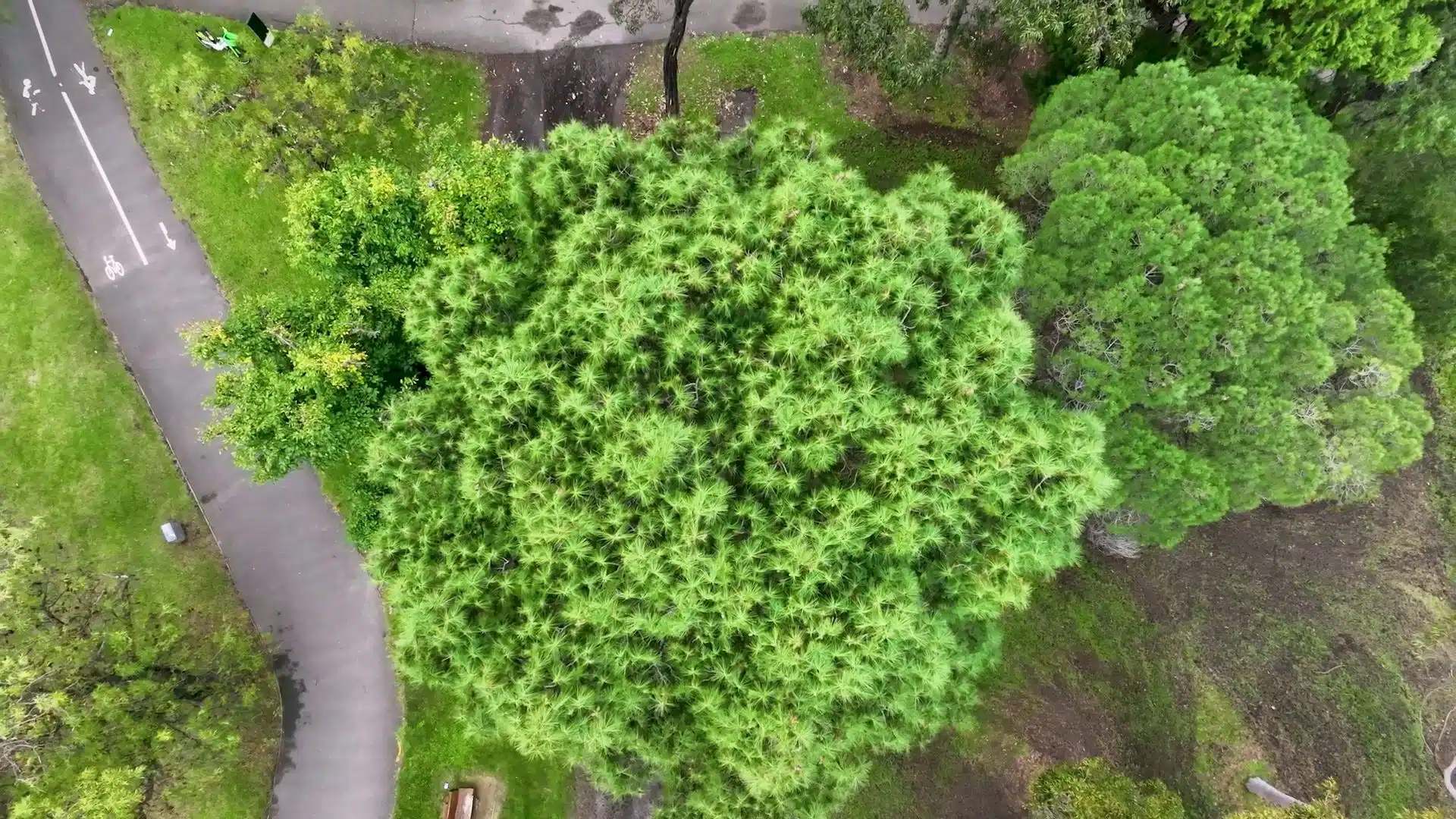
Drones come with HD cameras and sensors that can capture stunning aerial shots of each asset. Drone photography and video footage is often used in business proposals, pitching designs, blueprints, concept models etc.
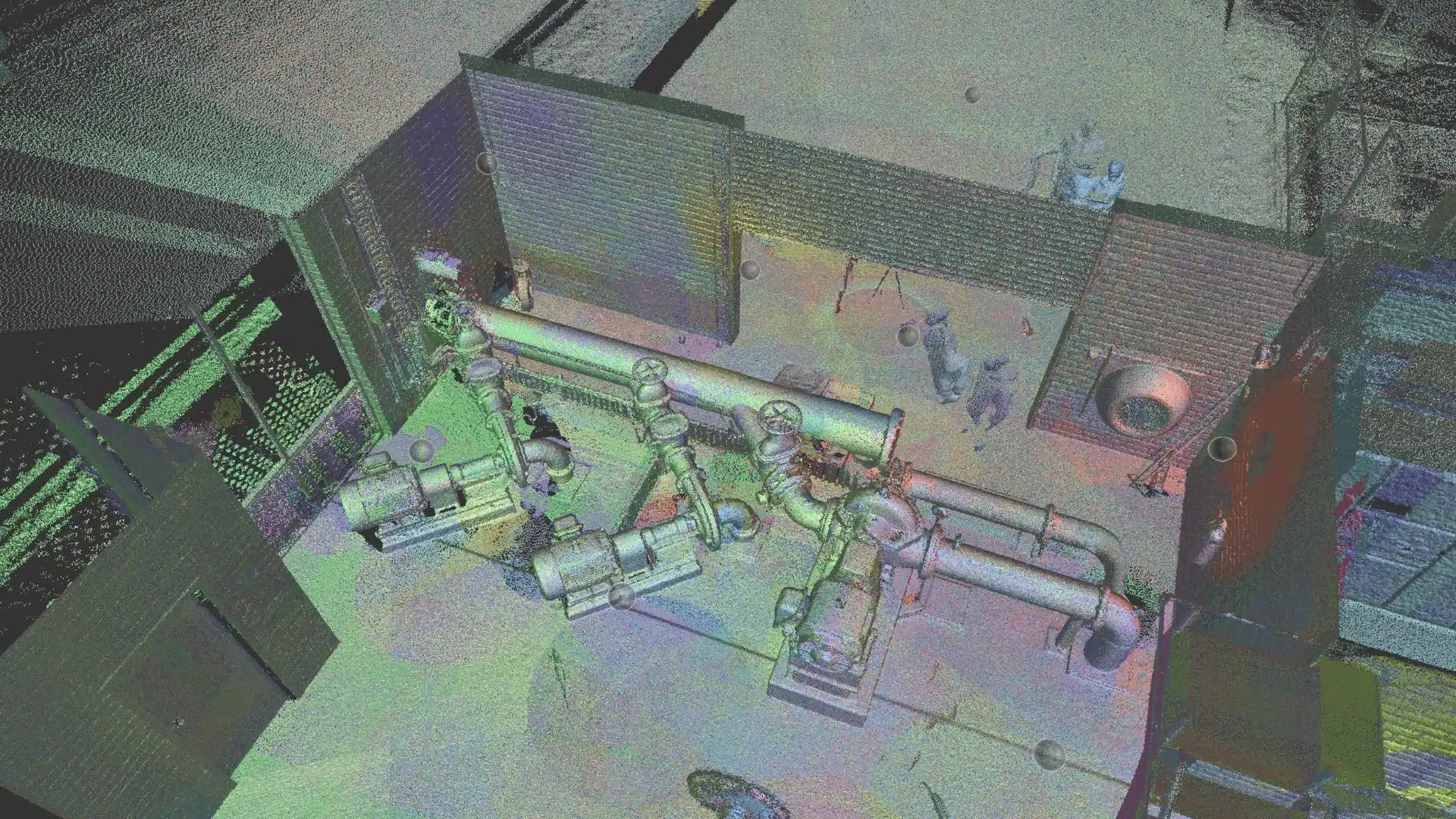
At Avian, we also offer 3D laser scanning services, wherein we use LiDAR scanners to capture physical assets and convert them to 3D models.
The laser scanner captures site data as point cloud images. The point cloud is then exported to a BIM model and then generated to 3D maps and models.
You can check out how the BIM application works by watching this video below:
Flexible Operations
Using our UAV/Drones to complete the inspections is a lot more flexible as well. There is little to no downtime in site operations. Plus, because everything is mechanised, you don’t have to deal with worksite disputes, unproductive workers etc.
Building managers can now get site survey data quicker without any unnecessary paperwork. All you need to do is hire a drone service provider and they will take care of everything.
Drones are a lifesaver for engineers who struggle to stay updated with the project schedule and ensure on time deliverables.
Cost and Time Effective
Drones might seem to be a huge initial investment for some AEC companies. I would always recommend that you consult professionals and truly understand the implications of getting a drone to your worksite.
With drones you can save both time and money. UAVs are cost effective and definitely a lucrative surveying tool for AEC projects in the long run.
At Avian, we provide not just drone aerial inspections, but also help with drone footage processing and getting useful site insights.
